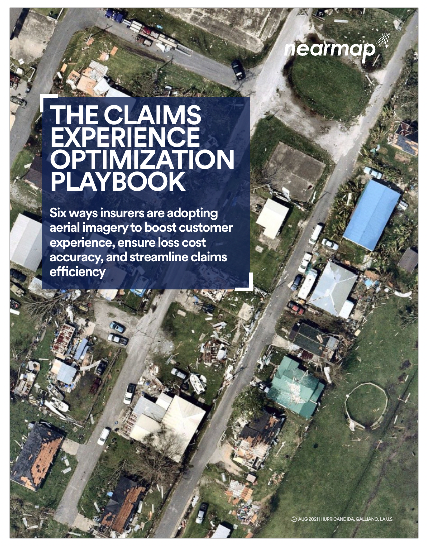
THANK YOU! Your form has been submitted. We are getting ready to contact you shortly.
BOSTON, MA, U.S.
REIMAGINE SCOPING, TRIAGING AND INSPECTION WORKFLOWS WITH GEOSPATIAL TECHNOLOGY
In the past few years, innovative claims professionals have embraced the implementation of digital technologies to streamline their workflows and invest in that most critical part of the claims moment: the customer experience. In this e-book you will learn the six ways insurers are adopting aerial imagery to boost customer experience, ensure loss cost accuracy, and streamline claims efficiently, including:
Proactively updating policies to avoid claims surprises
More efficient post-catastrophe claims triaging
Powering desktop adjustments
Speeding the policyholder response
Validating contractor estimates to control claims leakage
Arming you SUI teams with up-to-date property intel
TESTIMONIAL
"We had three tornadoes hit in a matter of weeks. Nearmap was very responsive; they got planes in the air, and we had pictures the next day of the damage on the ground. That was before we could even get claims adjusters in there. In a cat event, with trees down in the yard, an adjuster might have a hard time trying to understand what was there, what happened, what does indemnification look like in this situation? Having that historical imagery with oblique views - the way I can get eight views of the house before it was destroyed, we have a really good idea of what it would take to make that person whole again."
Director of Geospatial Capabilities, Tier 1 Insurance Carrier