Leverage aerial imagery and geospatial intelligence to streamline the inspection and quoting process, save time and money on site visits, and remotely estimate materials and labor costs.
Nearmap is revolutionizing WORKFLOWS FOR THE ROOFING INDUSTRY
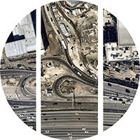
Accurate Imagery
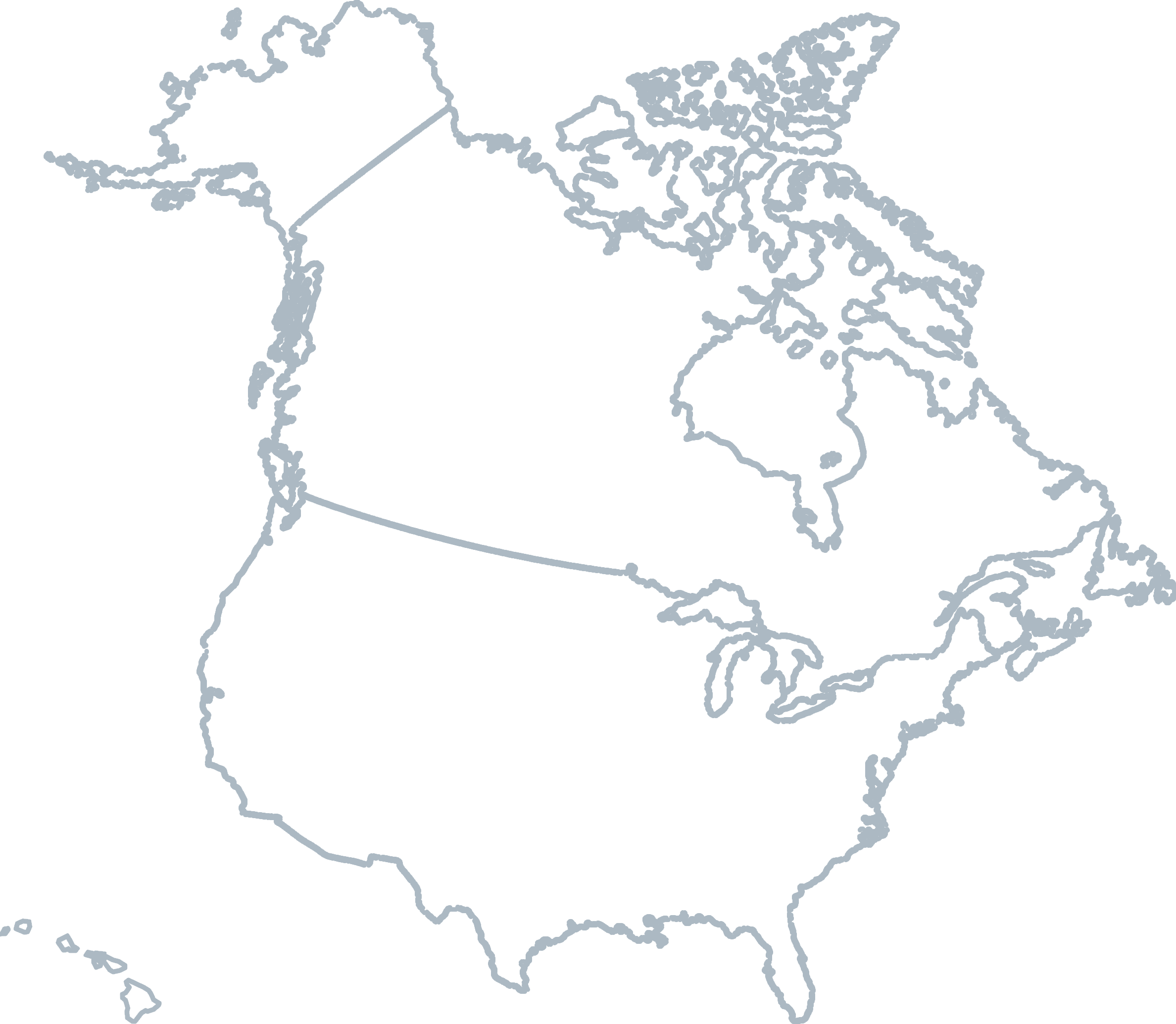
Nearmap captures location intelligence covering over 80% of the US population and up to 3 time captures a year.
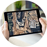
Remote Access
View, measure, and export aerial data from wherever you are.
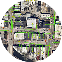
Advanced Tools
Powerful 3D aerial maps and innovative AI insights transport you to any worksite for extensive evaluation.

Seamless Integration
Easily connect our data with your preferred GIS and CAD platforms.
JOIN THE MAPPING EVOLUTION

Level 4, Tower One
100 Barangaroo Avenue
Barangaroo, NSW 2000
☎ 1800 632 762
10897 S River Front Pkwy
Suite 150
South Jordan, UT 84095
☎ 1-844-463-2762