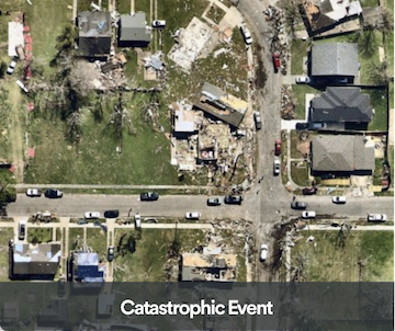
HURRICANE IAN | SEPT 28, 2022 - ENGLEWOOD, FL, US
ELEVATE YOUR DISASTER RESPONSE
More Accurately Evaluate Risk
Understand the exact state of a property to detect change, access risk, and mitigate loss.
Engage Proactively with Customers
Identify impacted properties, set up a claim, and assign an adjuster before the insured has a chance to pick up the phone.
Process Claims with Speed and Accuracy
Get a quick, up-to-date view of property damage to improve speed and accuracy of claims settlements and mitigate fraud.
Lower Post-Catastrophe Costs
More accurately determine repair and replacement costs while reducing fraud and more efficiently managing field adjuster resources.
SPEED MATTERS. ACCESS MATTERS. DETAILS MATTER.

ImpactResponse
Provides a rapid collection of high-resolution aerial imagery captured at a consistent 4.4-7 cm resolution, often delivered within 24 hours of landfall.

ImpactTriage AI
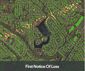
Three-tier property damage classifications, delivered via API, that quickly identifies impacted properties, so you prepare for claims and assign adjusters before policyholders pick up the phone.

ImpactAssessment AI
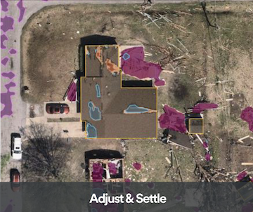
Assess more accurately with a robust collection of AI-derived property conditions and damage data extracted from post-catastrophe imagery.

