ENRICH YOUR
WORKFLOW WITH
REAL-WORLD CONTEXT

CHICAGO, IL

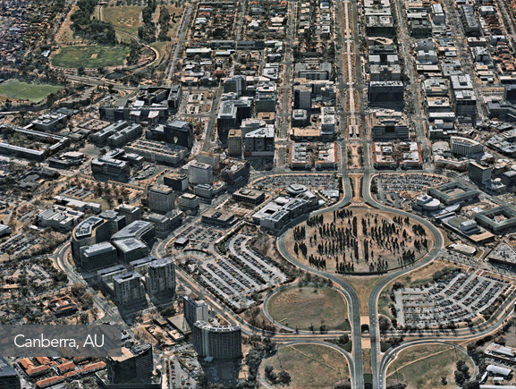
SEE OUR 3D CONTENT LIVE AT AUTODESK!

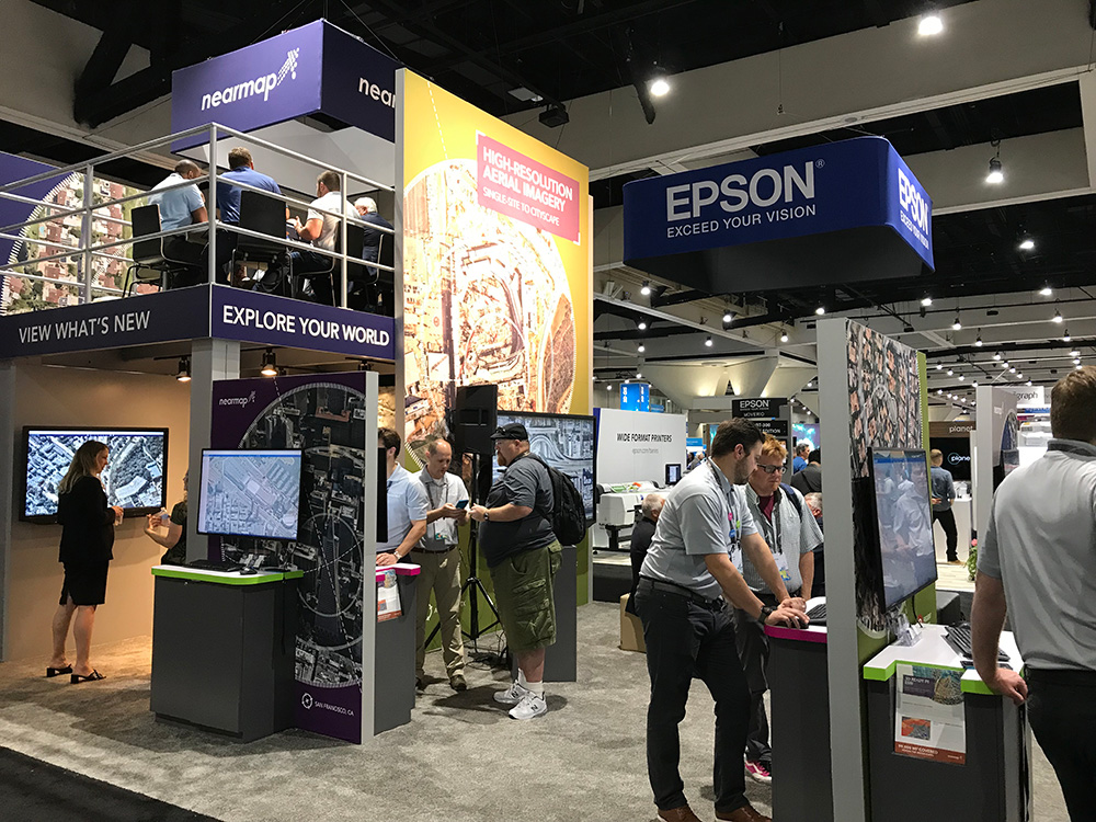
Autodesk University Las Vegas | November 19-21, 2019 | Booth AE304

Excepteur sint occaecat cupidatat non proident

Lorem ipsum dolor sit amet, consectetur adipiscing elit, sed do eiusmod tempor incididunt ut labore et dolore magna aliqua. Ut enim ad minim veniam.

Nearmap

LIFT YOUR LOCATION KNOWLEDGE

Inspect every angle, explore elevation and see what others can’t with Nearmap 3D. Give your plans the benefit of immersive, real-world context that’s reliably up-to-date and available instantly for easy browsing, efficient export and import to industry standard tools.

COMPATIBLE WITH

client
client
client
client
Nearmap

DOWNLOAD YOUR SAMPLE DATASET

Nearmap 3D improves your workflow. You’ll want to try it for yourself, so here’s a sample dataset in your preferred format. Just fill in the form above to receive either Canberra, AU or New York, USA. After all, seeing is believing.

Dataset available in:
  • Textured Mesh – 3MX, FBX, OBJ & SLPK
  • Point Cloud – LAS
  • DSM – GeoTIFF
  • True Ortho – GeoTIFF

NEARMAP 3D. THE WAY 3D SHOULD BE

“We do shadow analysis over winter, to see the impact of the worst scenarios; we analyse access to daylight on residential buildings - this is a highly sensitive area where you have to provide a percentage of habitable spaces within apartment complexes.”
- Steve Fox, Manager of Building Information Modelling (BIM) and Principle at Architectus.

image

Regular captures

Nearmap 3D has more than 10 Petabytes of high-quality 3D content at your fingertips to explore. Our 3D content is captured as part of regular aerial survey operations

Up-to-date coverage

Our vast coverage across urban areas means most cities are surveyed at least once a year. Your city is ready now, and reliably up-to-date.

3D On-demand

Our ‘as-a-Service’ model means no more days spent waiting for data. Explore, export and import - you’ll start working with it today.

Instantly accessible

Immerse yourself in an instant. Nearmap 3D is accessible from within the web-based MapBrowser tool, with unlimited panning, zooming, and measuring.

Level 4, Tower One
100 Barangaroo Avenue
Barangaroo, NSW 2000
☎ 1800 632 762

10897 S River Front Pkwy
Suite 150
South Jordan, UT 84095
☎ 1-844-463-2762


Privacy Policy | Terms of Use | Contact Us