MAR 2021 | CARMEL, IN, U.S.
DIGITAL TRANSFORMATION IN GIS
The GIS professional faces many challenges, especially as governments continue to embrace a digitized world. Hear from the industry leaders as they unpack the challenges presented in the eBook – like procurement and budgeting – and how advances in GIS technology and innovative aerial solutions helped to propel their organization forward:
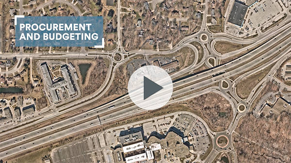
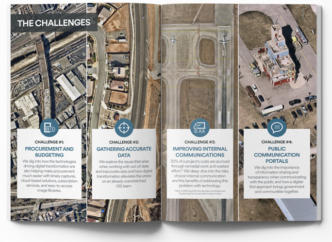
Challenge 1
Procurement and Budgeting
Speaker: Shane Burnham
GIS Analyst
City of Carmel, IN
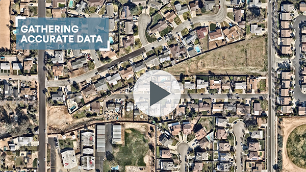
Challenge 2
Gathering Accurate Data
Speaker: Wade Allsup
Information Systems Specialist
Yucaipa Valley Water District, CA
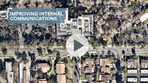
Challenge 3
Improving Internal Communications
Speaker: Philip Meilke
3D Web Experience Product Mgr.
Esri
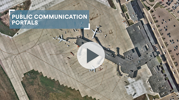
Challenge 4
Public Communication Portals
Speaker: Lauri Sohl
Civic Analytics Manager
City of Sioux Falls, SD
STAYING ON TOP OF CHANGE
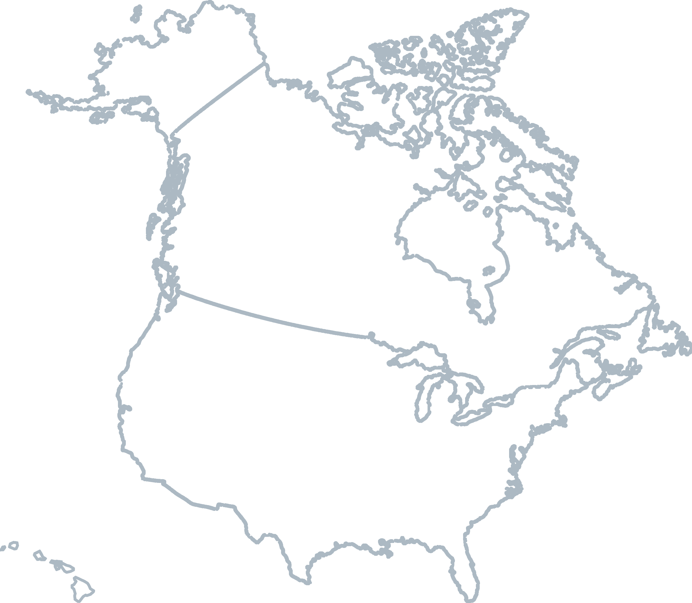
Growth is occurring rapidly—across counties, cities, and states—and keeping GIS data current to reflect this change is not always simple, but always necessary. At Nearmap, we offer proactive aerial surveys that capture over 700 urban and regional areas up to 3 times per year in accordance with our coverage, helping you to avoid the lengthy process of procuring costly flyovers. ![]()

Level 4, Tower One
100 Barangaroo Avenue
Barangaroo, NSW 2000
☎ 1800 632 762
10897 S River Front Pkwy
Suite 150
South Jordan, UT 84095
☎ 1-844-463-2762