BOSTON, MA, U.S.
CONTINUALLY UPDATED FOR MAXIMUM ACCURACY
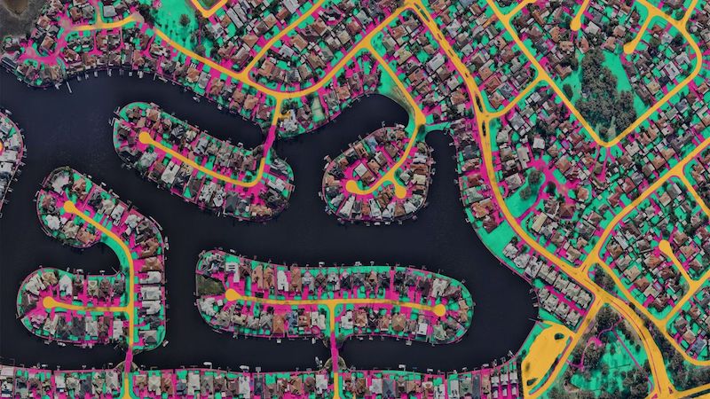
Nearmap aerial intelligence captures 1,740 urban and regional areas nationwide (including the cities and suburbs that house over 80% of the U.S. population) up to three times per year – surveying more than 308,000 unique square miles annually. Our proactive capture program ensures that GIS professionals are making planning and development decisions with accurate data.
Digital TRANSFORMATION
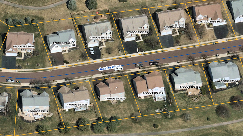
Nearmap replaces outdated, time-consuming tasks by enabling GIS teams to effectively work remotely using our cloud-based solutions (survey capture program, MapBrowser, integrations). Everything from property assessments to urban planning can now be accomplished from any connected device.
OPen CoMMUNICATION
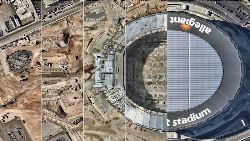
Nearmap aerial imagery provides a timestamped catalog of current and historic captures, making it easy to convey government activities to both project stakeholders and members of the community. Communication through aerial surveys visually confirms that projects are meeting deadlines and that tax dollars are being well spent.
OPTIMIZE EFFICIENCY
Nearmap aerial imagery removes GIS reliance on procuring costly individual flyovers by routinely surveying your community (updates and historical surveys are included in your subscription). Our proactive survey capture program empowers a greater understanding of your city at scale with frequently updated, high-resolution aerial content that's available within days of capture. Access the latest 2D, 3D and AI content on-demand to help reduce lengthy site visits, enhance mapping capabilities, detect change over time, and accurately manage your assets.
TESTIMONIAL

Level 4, Tower One
100 Barangaroo Avenue
Barangaroo, NSW 2000
☎ 1800 632 762
10897 S River Front Pkwy
Suite 150
South Jordan, UT 84095
☎ 1-844-463-2762