FREE EBOOK: ACTIONABLE INSIGHTS ACROSS THE POLICY LIFECYCLE

Gain a true understanding into what's happening on the ground with reliable property data.

JAN 2021 | TORNADO, BIRMINGHAM, AL U.S.

Nearmap

INSURE SMARTER WITH REAL PROPERTY INTELLIGENCE

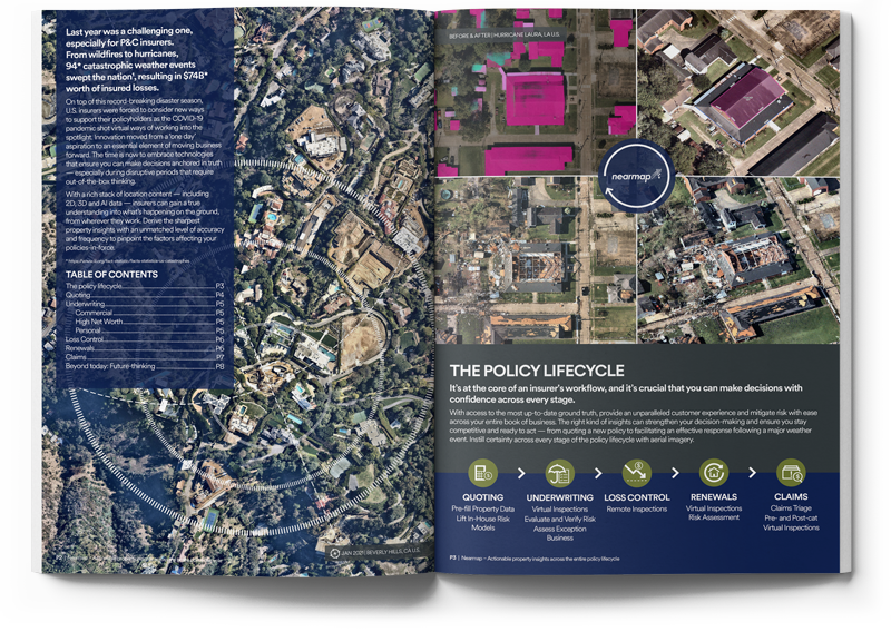
From high-res aerial imagery to advanced AI based location intelligence to post-event data following a catastrophe, the right up-to-date property intelligence program can provide insurers the full spectrum of data they need to monitor all quotes and policies throughout the insurance lifecycle.

In this free guide, you will learn:

  • How virtual inspections and AI data sets can help you evaluate and monitor risk
  • Why aerial imagery can better inform risk selection to help mitigate loss exposure
  • How pre- and post-catastrophe imagery can improve speed and accuracy for claims

WHAT ARE THEY SAYING ABOUT NEARMAP?