JULY 2021 | SHELLHARBOUR, NSW AU
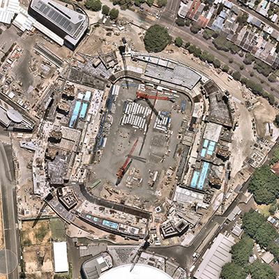
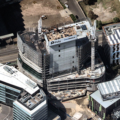
DETAIL AT A DISTANCE FOR INFORMED DECISIONS
Keep an eye to the ground with full-scale aerial surveys and rich location intelligence. Get intimate site knowledge from wherever you are.

HISTORICAL
Up to 10+ years of historical imagery at your fingertips

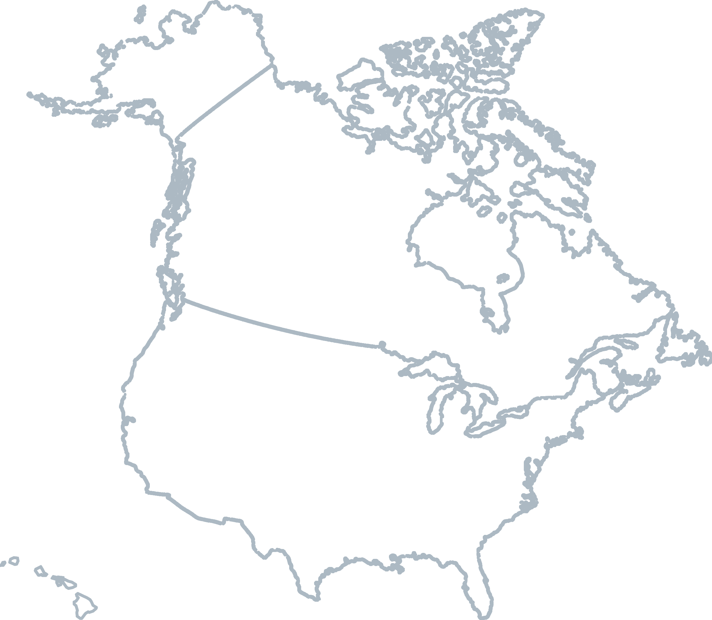
WIDE-SCALE COVERAGE
Spanning 90% of Australia's population
ASSESS RISK
Plan entry points and view obstructions

REMOTE ACCESS
Collect site insights before you arrive
Turn prospective plans into perspective plans
NEARMAP VERTICAL
High-resolution top down imagery with measurable detail.
Measure length, area, or radius with built-in tools in our web application. GSD: 5.6 - 7.5 cm
NEARMAP 3D
Immersive view of 3D textured mesh Pan & zoom, and measure height, length, pitch, area, and elevation
On-demand export: textured mesh, DSM, true ortho, point cloud and DTM
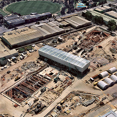
NEARMAP OBLIQUE
Multi-perspective aerial view at 45-degree angle View 4 directions, with gallery of individual source images
Accurate height, slope, and roof area measurement GSD: 7.6 cm
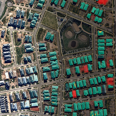
NEARMAP AI
Building footprints, construction sites, roof types, solar panels, pools, tree overhang, as a visual overlay in our web application or export for third party integration.
TESTIMONIAL
COMPATIBLE WITH


Level 4, Tower One
100 Barangaroo Avenue
Barangaroo, NSW 2000
☎ 1800 632 762
10897 S River Front Pkwy
Suite 150
South Jordan, UT 84095
☎ 1-844-463-2762