MAY 2020 | San Francisco, CA, U.S.
Bring greater accuracy and efficiency to your site design, planning, and visualizations with Nearmap. Accurately measure and assess worksites from any connected device with sub-3” resolution clarity, 3D viewpoints, and AI insights.
Nearmap is revolutionizing AEC workflows
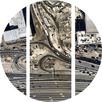
Frequent Surveys
We capture 1740 of the top urban and regional areas in the U.S. up to three times per year.
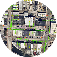
Seamless Integration
Easily connect our data with your preferred GIS and CAD platforms.
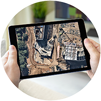
Remote Access
View, measure, and export aerial data from wherever you are.

Advanced Tools
Powerful 3D aerial maps and innovative AI insights transport you to any worksite for extensive evaluation.
Demo Nearmap and start seeing the world truthfully

Level 4, Tower One
100 Barangaroo Avenue
Barangaroo, NSW 2000
☎ 1800 632 762
10897 S River Front Pkwy
Suite 150
South Jordan, UT 84095
☎ 1-844-463-2762