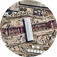
APR 2021 | BADGERY'S CREEK NSW AU
As the world around us continues to change, it’s crucial that you can detect and monitor change on the ground with confidence. That’s why Nearmap is offering an exclusive sample of up-to-date high-resolution aerial imagery for Infrastructure Readers.
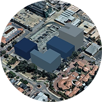
WIDE-SCALE AERIAL IMAGERY, FREQUENTLY UPDATED TO ACCOUNT FOR CHANGE

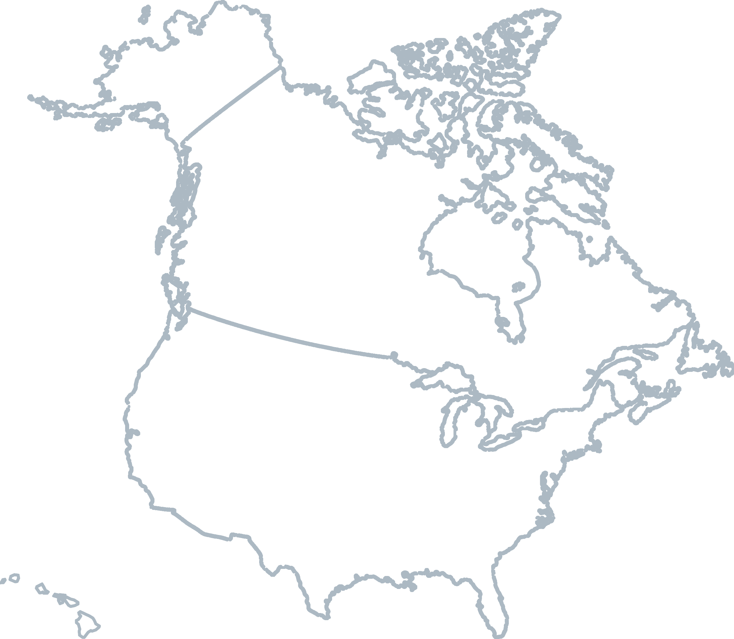
COVERAGE
Our coverage footprint spans 100 urban areas and covers 90% of Australia’s total population
CURRENT
Nearmap conducts up to 6 captures per year for fast-growing areas. See if your area is covered in our interactive coverage map.
EASY INTEGRATIONS
Nearmap imagery can be accessed via multiple industry-leading GIS and CAD applications

Level 4, Tower One
100 Barangaroo Avenue
Barangaroo, NSW 2000
☎ 1800 632 762
10897 S River Front Pkwy
Suite 150
South Jordan, UT 84095
☎ 1-844-463-2762