JUNE 2021 | MARSDEN PARK, NSW AU
The big picture for local communities
Forward-thinking government departments use Nearmap for urban planning, environmental management transport mapping and emergency response. When every detail matters, rely on the most frequently updated high-res aerial imagery.

HISTORICAL
Up to 10+ years of historical imagery at your fingertips

IMPACTRESPONSE COVERAGE
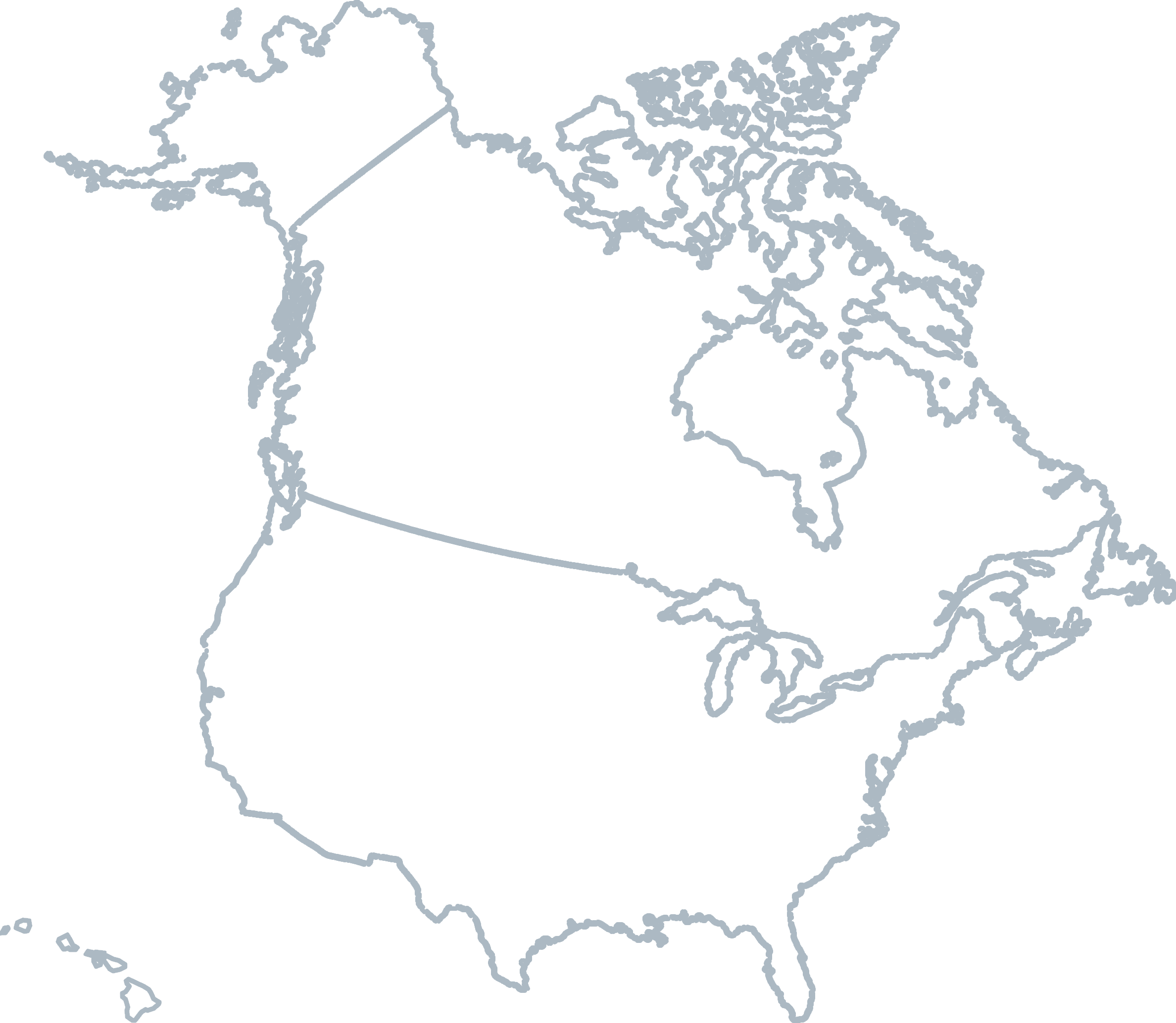
47,000km2+ already covered
REMOTE MONITORING
Save time with fewer site visits
COORDINATE EMERGENCY RESPONSE
47 catastrophes captured so far
INTERESTED IN LEARNING MORE ABOUT NEARMAP SOLUTIONS?
INSIDE THE INSIGHTS: NEARMAP AI
See how to make the most of Nearmap AI with this technical workshop presented by our Senior Director of AI Systems. With rich feature extraction across an entire landscape, Nearmap AI can help you pinpoint true ground insights at the click of a button — from vegetation to road surfaces.

Level 4, Tower One
100 Barangaroo Avenue
Barangaroo, NSW 2000
☎ 1800 632 762
10897 S River Front Pkwy
Suite 150
South Jordan, UT 84095
☎ 1-844-463-2762