SAVE TIME & MONEY WITH HD AERIAL IMAGERY FROM NEARMAP
SAVE TIME & MONEY WITH HD AERIAL IMAGERY FROM NEARMAP
TIME IS YOUR HERO.
Free it up to save the day—and a lot of money.
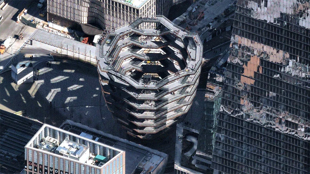
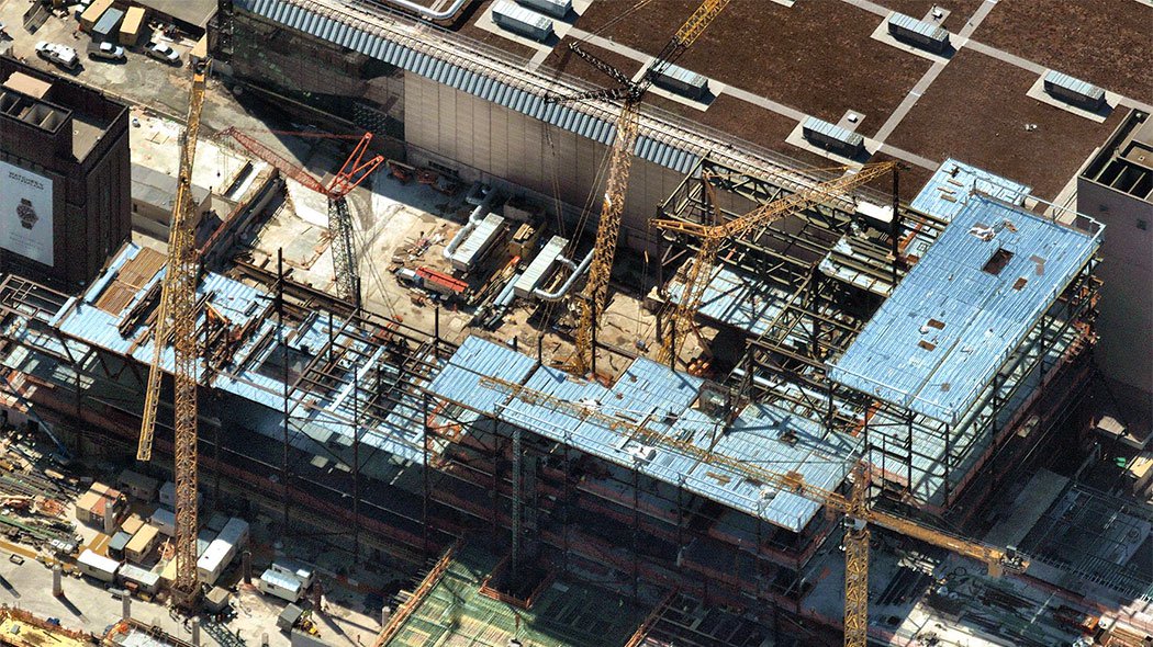
Today's businesses rely on high-res, frequently updated aerial maps to swiftly identify new business, sharply cut field expenses, and visualize truth on the ground. Learn how you can:
➊ Slash the number of costly site visits
➋ Quote more, with far greater accuracy
➌ Reduce material waste and downtime
➍ Improve planning & worker productivity
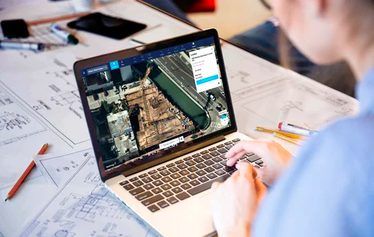
Intuitive aerial maps and tools stream instantly. So work smart, and transform your business operations now. It's altogether possible, and we're here to help.
Determine viability in real-time, on the phone, without sending a crew to the site.
Easily inspect multiple property view to swiftly estimate costs and quotes.
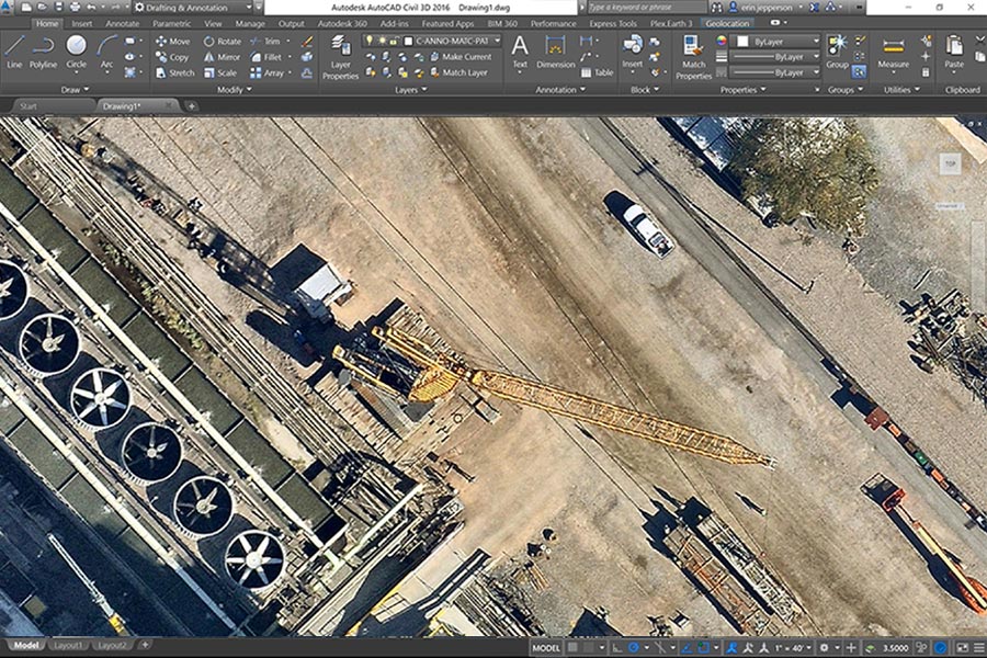
Measure quickly, calculate material, labor costs and determine safety needs.
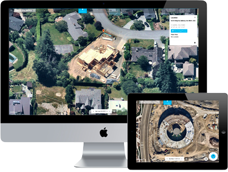
Easily share imagery exports and text notes with colleagues and customers.
| Reduce risk, travel time & costly site visits | |
| Instantly access from any connected device | |
| Measure precise distance or area in seconds | |
| Browse current, historical or leaf-off imagery | |
| Communicate clearly with stunning proposals |
Lorem Ipsum is simply dummy text of the printing and typesetting industry, when an unknown printer took a galley of type and scrambled it to make a type specimen book.
Printer took a galley of type and scrambled it to make a type specimen book.
Lorem Ipsum passages, and more recently with desktop publishing software like Aldus PageMaker including versions of Lorem Ipsum.
We deliver reality through frequently updated aerial photos of your site, so you can get to work on what matters: scaling your business, making informed decisions, and executing projects perfectly.
© 2019 Nearmap Ltd. / Nearmap US, Inc.
☎ 1-844-463-2762 | Terms of Use | Privacy Policy