OCT 2021 | MELBOURNE, VIC AU
NEARMAP MAKES VIRTUAL INSPECTIONS A REALITY
Go beyond satellite and UAV, get full-scale aerial surveys with rich location intelligence to optimise productivity. The Nearmap product portfolio provides meaningful, multi-faceted perspectives to deepen your understanding of an area - including vertical, oblique, 3D and AI content, available in an instant to augment your current imagery library.
Level up your business with up-to-date location intelligence and high-resolution aerial imagery from Nearmap so you can quote accurately and skip site visits.

HISTORICAL
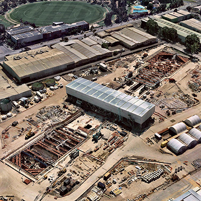
10+ years of historical imagery at your fingertips

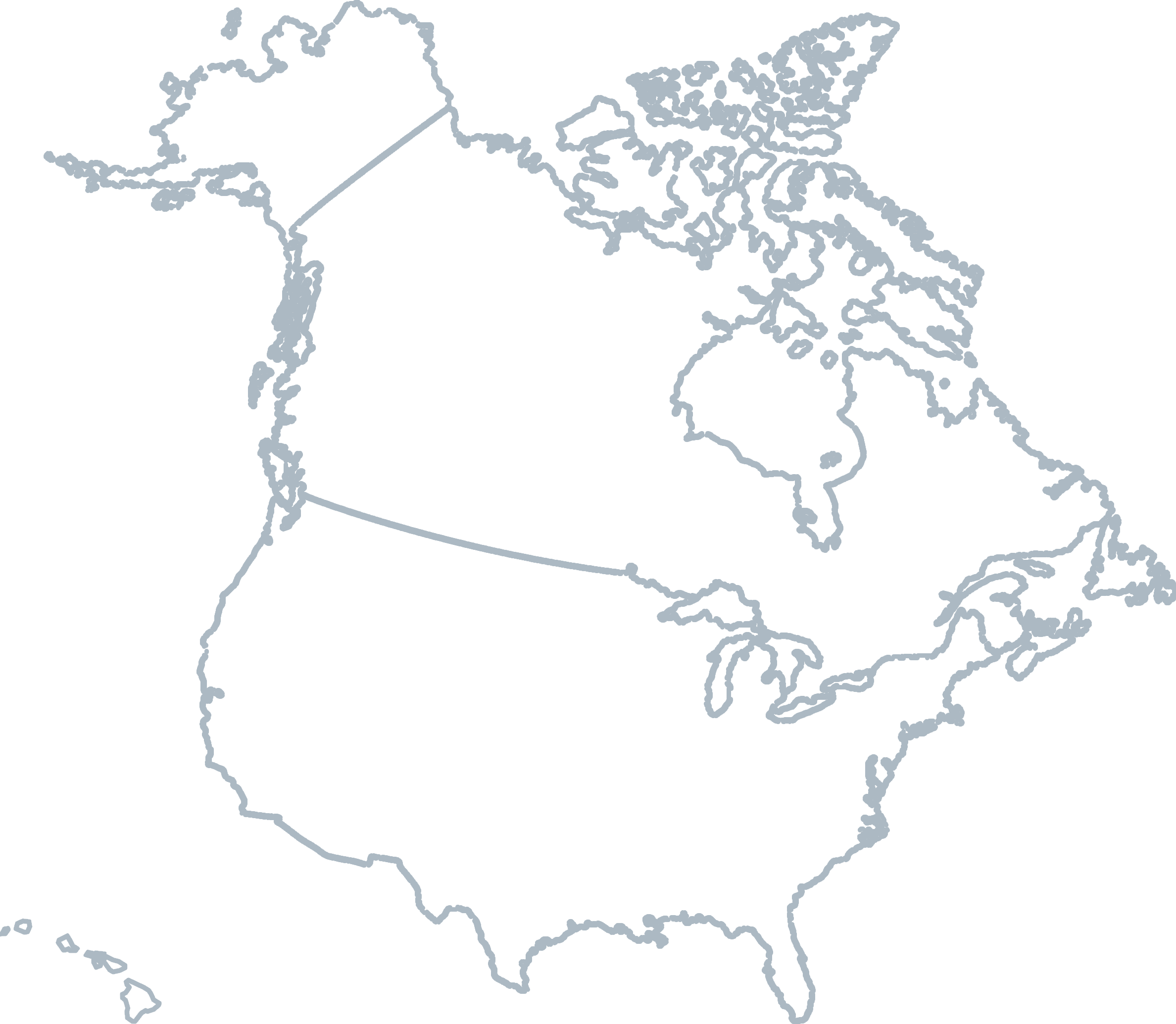
WIDE-SCALE COVERAGE
Spanning up to 95% of Australia's population
ASSESS RISK
Plan entry points and view obstructions
REMOTE ACCESS
Collect site insights before you arrive
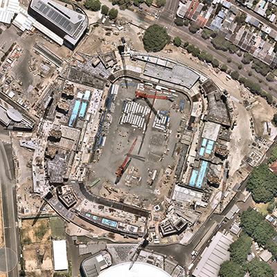
High-resolution top down imagery with measurable detail. Measure length, area, or radius with built in tools in our web application.
High fidelity content with wide-scale coverage across major urban and regional areas. Pan & zoom, and measure height, length, pitch, area, and elevation.
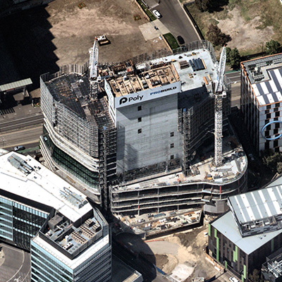
Multiple directional perspectives, with advanced tools for remote and accurate height, slope, and roof area measurement and analysis.
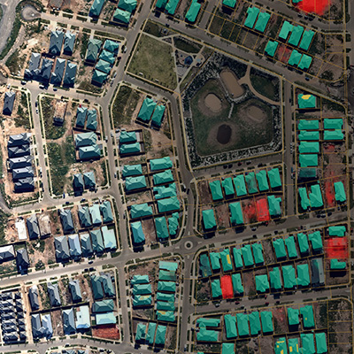
Building footprints, construction sites, roof types, solar panels, pools, tree overhang, as a visual overlay in our web application or export for third party integration.
COMPATIBLE WITH


Level 4, Tower One
100 Barangaroo Avenue
Barangaroo, NSW 2000
☎ 1800 632 762
10897 S River Front Pkwy
Suite 150
South Jordan, UT 84095
☎ 1-844-463-2762